The Classic Inca Trail Day by Day: From Km 82 to the Sun Gate
What each day of the Classic Inca Trail really feels like, from the Km 82 checkpoint to Dead Woman's Pass, Wiñay Wayna and the pre-dawn walk to the Sun Gate.
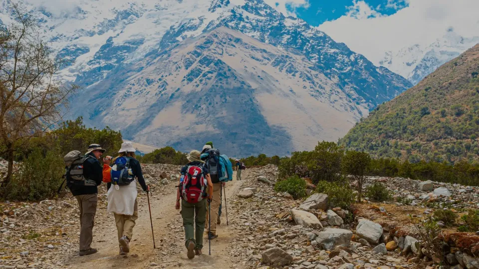
Ask anyone who has done it what they remember most from the Classic Inca Trail day by day, and the answers are oddly specific. The sound of the Urubamba River at the Km 82 checkpoint. The cold, sweet smell of the cloud forest after rain. The moment someone in the group gets to the top of Dead Woman's Pass and everybody claps. This guide walks you through the four days the way our guides experience them, with altitudes in feet and meters so you know what is coming.
Planning the Classic Inca Trail day by day also helps you train for the right thing: long descents, not just climbs. The whole route is about 26 miles (42 km). Exact campsites vary by operator and by permit availability, so treat the overnight stops below as typical rather than fixed.
The Classic Inca Trail day by day at a glance
| Day | Key points | High point | Typical camp |
|---|---|---|---|
| 1 | Km 82, Llactapata, Wayllabamba | About 9,800 ft (3,000 m) | Wayllabamba area |
| 2 | Llulluchapampa, Dead Woman's Pass | 13,829 ft (4,215 m) | Pacaymayo, about 600 m below the pass |
| 3 | Runkurakay, Sayacmarca, Phuyupatamarca, Wiñay Wayna | About 12,960 ft (3,950 m) | Near Wiñay Wayna |
| 4 | Sun Gate (Intipunku), Machu Picchu | Sun Gate viewpoint | Hotel in Aguas Calientes or back to Cusco |
Day 1: Km 82 to Wayllabamba
Pickup in Cusco is early, usually before dawn, and the drive runs through the Sacred Valley toward Ollantaytambo and on to Piscacucho, the spot known as Km 82, at about 8,500 ft (2,600 m). Here you meet the porters, show your passport at the control post, and cross the bridge over the Urubamba. That checkpoint is where your permit and passport details have to match, which is why we are so fussy about them in our Inca Trail permits guide.
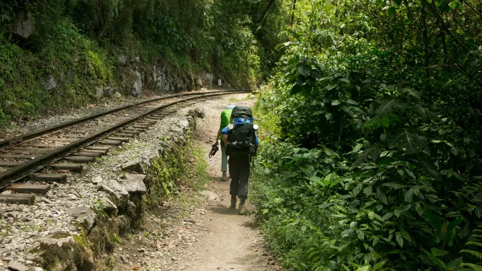
Day one is often called the warm-up, and it mostly is. The trail follows the river with gentle ups and downs, through small farms and eucalyptus. The first big Inca site is Llactapata (also called Patallacta), a terraced complex below the trail that most people photograph from a viewpoint above. Lunch is usually served in a tent, which surprises everyone the first time: a table, chairs, soup and a hot main course, prepared by the cook in the middle of nowhere.
In the afternoon the trail turns up the Kusichaca valley toward Wayllabamba, at about 9,800 ft (3,000 m), the last village on the route. Some operators camp here; others push a bit further to shorten the next day.
Day 2: Dead Woman's Pass, the hardest day
This is the day everybody asks about. From Wayllabamba the trail climbs steadily through a forest of polylepis and moss to Llulluchapampa, a grassy clearing at about 12,500 ft (3,800 m). From there, the last stretch to Warmiwañusca, or Dead Woman's Pass, at 13,829 ft (4,215 m), is open, steep and slow. The air is thin. People count steps.
One of our guides, who grew up in a village above Ollantaytambo, has a simple rule for this climb: walk slowly enough that you could still sing. If you cannot, slow down. No one is racing.
The view from the top is wide and windy, with the valley you just climbed behind you and the Pacaymayo valley ahead. Then comes the descent: a long staircase of stone down to the Pacaymayo camp, roughly 2,000 ft (600 m) below the pass. Knees feel this part more than lungs do, and trekking poles earn their place. Most groups reach camp in the early afternoon and spend the rest of the day resting, eating and watching the clouds move.
Is Dead Woman's Pass dangerous?
It is demanding, not technical. The main risk is altitude. The CDC advises acclimatizing before going higher and not ascending further while symptoms of altitude sickness persist. That is why we recommend at least two nights in Cusco or the Sacred Valley before you start. Our article on how to prepare for the Inca Trail has a training plan.
Day 3: Runkurakay to Wiñay Wayna, the best day
Ask our team which day they like best and most of them say day three. It is the longest, but it is also where the archaeology comes thick and fast.
- Runkurakay (about 12,300 ft / 3,750 m): a small round Inca structure, probably a tambo or waystation, on the way up to the second pass at about 12,960 ft (3,950 m).
- Sayacmarca: a complex perched on a rocky spur, reached by a narrow staircase, with views straight down the valley.
- The cloud forest: original Inca paving, an Inca tunnel carved through rock, orchids, bromeliads and, if you are lucky, hummingbirds.
- Phuyupatamarca, "the town above the clouds", with ritual baths and, on a clear afternoon, views of Salkantay and the Urubamba far below.
- Wiñay Wayna, the last big site before Machu Picchu: a cascade of terraces on a steep slope, often almost empty in the late afternoon light.
The descent from Phuyupatamarca is a long series of Inca steps. Take your time. Camp tonight is near Wiñay Wayna, and dinner is usually the moment to thank the porters and cook as a group, since they leave early the next morning to catch their train.
Day 4: the Sun Gate and Machu Picchu
Wake-up is around 3:30 a.m. Not because the walk is long but because everybody queues at the final checkpoint, which opens before sunrise. Headlamps on, the group shuffles forward in the dark, then walks about 2 miles (3 km) on a narrow path cut into the mountainside.
The last obstacle is a set of almost vertical steps that people call "the gringo killer". Right after it comes Intipunku, the Sun Gate, and the first full view of Machu Picchu below. On a clear morning the light spills over the ridge behind you. On a cloudy one the citadel appears and disappears, which can be even more beautiful.
From there you walk down into the site. Since the 2026 season, Inca Trail tickets are linked to Circuit 3, route B, so your guided visit follows that route. Afterward you take the bus down to Aguas Calientes for lunch and the train back. For ticket rules and circuits, see our Machu Picchu tickets article.
Four days or five?
Everything above describes the Classic Inca Trail day by day on the standard schedule. The four-day schedule is the classic, but it is tight, especially day three. Our Classic Inca Trail to Machu Picchu 5 Days splits the route into shorter stages and adds a night in Aguas Calientes, so you can return to Machu Picchu rested. If you prefer the standard pace, the Classic Inca Trail 4 Days group tour is the one to look at. Short on PTO? The Short Inca Trail does Wiñay Wayna and the Sun Gate in one day.
Before you go, check our Inca Trail packing list; it covers what to carry for the cold night at Pacaymayo and the rainy months.
FAQ
How long is the Classic Inca Trail each day?
The full route is about 26 miles (42 km). Day three is the longest; day four is short but starts before dawn.
What is the highest point of the Inca Trail?
Dead Woman's Pass (Warmiwañusca), at 13,829 ft (4,215 m), crossed on day two.
Do you see the sunrise from the Sun Gate?
Sometimes. It depends on the weather and on when your group passes the final checkpoint. Clouds are common, especially in the rainy season.
Is the Classic Inca Trail suitable for beginners?
Yes, for reasonably fit beginners who train beforehand and acclimatize in Cusco. Day two is the real test.
If you would like to walk it with us, tell us your dates via https://machulasjourney.com/contact-us/ or on WhatsApp and we will check permit availability. You can also see photos from past groups in our https://machulasjourney.com/gallery/.
Sources
Local guides and travel planners based in Cusco. We walk these routes every season.
About UsTours for this trip
Inca Trail to Machu Picchu
Classic Inca Trail 4 Days Group Tour
Classic Inca Trail 4 days group tour is the perfect choice for travelers who want to experience the most…
- Moderate
- 4,215 m
- Group or private
From US$950per person
Book a trip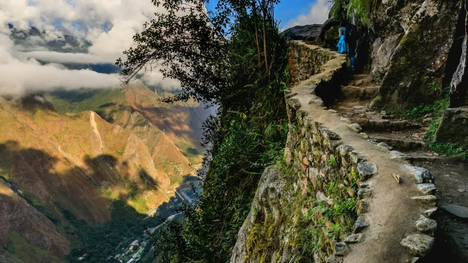
Inca Trail to Machu Picchu
Short Inca Trail to Machu Picchu 2 Days
Short Inca Trail to Machu Picchu 2 days is the perfect adventure for travelers who want to experience…
- Moderate
- 2,730 m
- Group or private
From US$560per person
Book a tripInca Trail to Machu Picchu
Classic Inca Trail to Machu Picchu 5 Days / 4 Nights
The Inca Trail is the undisputed attraction for most people coming to Cusco and it is by far the most…
- Moderate
- 4,215 m
- Group or private
From US$1,050per person
Book a trip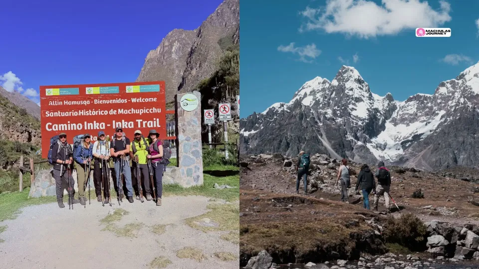 Trekking Guides