Salkantay Trek: The Complete Guide to Peru's Wild Route to Machu Picchu
Everything about the Salkantay Trek from a Cusco operator: the route, the high pass, Humantay Lake, difficulty, when to go and whether to choose 4 or 5 days.
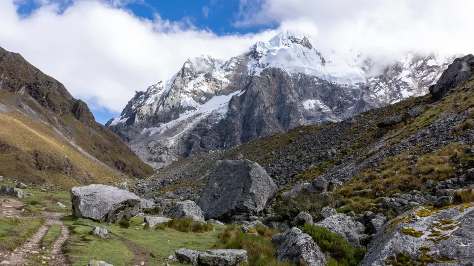
At about 5 a.m. on the second morning of the trek, the camp at Soraypampa is still blue with cold. Tea arrives at the tent door, someone unzips a flap, and there it is: Salkantay, white and enormous, already catching the first light. That view is a big part of why the Salkantay Trek has become the most popular alternative to the Inca Trail for travelers from the US. No permit lottery, a higher pass, glaciers, a turquoise lake, and then a long descent into cloud forest and coffee country, ending at Machu Picchu.
This is our complete guide, written from Cusco by a team that walks this route every week of the dry season.
What is the Salkantay Trek?
Salkantay (also spelled Salcantay) is the highest peak in the Vilcabamba range, at 20,574 ft (6,271 m), about 37 miles (60 km) west-northwest of Cusco. The name is usually traced to the Quechua word sallqa, meaning wild or untamed, which is why you will hear it called "the Savage Mountain". The mountain sits directly south of Machu Picchu, at the start of the ridge that runs down toward the citadel.
The trek follows a traditional route around the mountain's flank, over a high pass and down into the valleys of Santa Teresa, joining the railway at Hidroeléctrica before reaching Aguas Calientes. A four-day route covers roughly 43 miles (70 km).
Unlike the Classic Inca Trail, this route does not need a government trekking permit. You still need a Machu Picchu ticket for the final day, and those sell out too in high season.
The Salkantay Trek route, step by step
Day 1: Mollepata, Soraypampa and Humantay Lake
We leave Cusco before dawn and stop for breakfast in Mollepata, a farming town where most groups make their first stop. The vehicle continues up to Challacancha, where the walk to Soraypampa begins, about 4 miles (7 km) on a fairly gentle trail. After lunch comes the first big effort: the steep 2.5-mile (4 km) climb to Humantay Lake, at 13,780 ft (4,200 m), a glacial lake fed by meltwater from Humantay peak. Most people take about two hours to get up. The color is real; no filter needed.
Day 2: the Salkantay Pass
This is the hard day. From Soraypampa it is around four hours and about 4 miles (7 km) of steady zigzags up to the Salkantay Pass, at roughly 15,100–15,250 ft (4,600–4,650 m), depending on whose measurement you trust. At the top there are stone cairns, prayer offerings and, if the clouds behave, a close view of Salkantay's glaciers. Then the trail drops east, a long descent of around 9 miles (15 km) as the landscape changes from rock and ichu grass to the first trees and bromeliads.
A guide on our team who grew up near Mollepata always stops the group just below the pass to point out how far the glacier has retreated. Peru's official newspaper El Peruano reports that Salkantay has lost about 60% of its glacier surface in the last four decades. He tells guests to look carefully, because their kids may see a very different mountain.
Day 3: cloud forest, coffee and hot springs
Day three is warm, green and mostly downhill, following the Santa Teresa river through cloud forest. You will hear rivers, see passion fruit and avocado trees, and pass small farms where families grow coffee. In the afternoon many groups stop at the hot springs near Santa Teresa, which feel wonderful after two days at altitude.
Day 4: Hidroeléctrica to Aguas Calientes
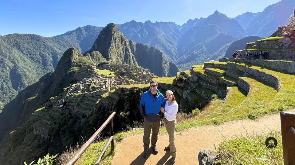
The final walk follows the railway line from Hidroeléctrica to Aguas Calientes, a mostly flat stretch along the Urubamba River with glimpses of Machu Picchu's mountains above. The next morning you visit the citadel, and then return to Cusco by train and road.
Salkantay Trek 4 days or 5 days?
| 4 days | 5 days | |
|---|---|---|
| Best for | Fit hikers with limited PTO | A gentler pace and more time in the cloud forest |
| Hardest day | Day 2 (pass plus long descent) | Similar, but days 3–4 are shorter |
| Extra highlights | Humantay, pass, cloud forest | Often adds the Llactapata ruins, with a distant view of Machu Picchu |
| Machu Picchu | Morning after day 4 | Final day |
Our Salkantay Trek 4 Days is our standard departure. If you want the full experience of both routes, the Salkantay and Classic Inca Trail Trek 7 Days combines the Salkantay Pass with the last section of the Inca Trail (that part does require an Inca Trail permit).
How hard is it?
It is a challenging trek, mainly because of the altitude. The pass is higher than anything on the Inca Trail, and the first two nights are spent well above Cusco. The CDC recommends that above 9,800 ft (3,000 m) you increase your sleeping altitude by no more than about 1,650 ft (500 m) a night and add an extra day for every additional 3,300 ft (1,000 m). In practical terms: spend at least two nights in Cusco first. A day trip to Humantay Lake or the Rainbow Mountain before the trek is good acclimatization if you feel fine.
Trail-wise, there is nothing technical. Expect long climbs, long descents and some muddy stretches in the cloud forest.
When is the best time to go?
The dry season, roughly April or May to October or November, gives the clearest views of the mountain. Temperatures range widely along the route, from about 23°F (−5°C) on cold nights near the pass to about 79°F (26°C) in the cloud forest. June and July are the coldest nights and also the busiest months. The rainy season brings mud, cloud and sometimes snow on the pass, but also fewer people and very green valleys. Our guide to the best time to visit Machu Picchu breaks it down month by month.
Salkantay vs Inca Trail
The short version: Salkantay is about mountain landscapes, glaciers and variety, with more flexible booking. The Inca Trail is about Inca archaeology and arriving through the Sun Gate. We compare them in detail in Inca Trail vs Salkantay, and you can see other options in our guide to the best alternatives to the Inca Trail.
What to pack
- A warm sleeping bag for the cold first two nights
- Down jacket, gloves and beanie for the pass
- Light layers and insect repellent for the cloud forest
- Rain jacket and pack cover, all year
- Swimsuit and sandals for the hot springs
- Sunscreen, sunglasses and a hat; the UV at altitude is intense
FAQ
How high is the Salkantay Pass?
About 15,100–15,250 ft (4,600–4,650 m). Sources differ slightly on the exact figure.
Do I need a permit for the Salkantay Trek?
No trekking permit is needed, unlike the Classic Inca Trail. You do need a Machu Picchu entrance ticket, which we book for you.
Is Salkantay harder than the Inca Trail?
Most people find it harder because the pass is higher and the days are longer, though the Inca Trail has more steep stone steps.
Can I rent a mule or horse?
Yes. Mules carry the camping gear, and an emergency horse or a riding horse for the pass can usually be arranged. Ask us when booking.
Want to see which dates work for you? Message us on WhatsApp or through https://machulasjourney.com/contact-us/; you can also browse every trek in our https://machulasjourney.com/tours/salkantay-adventure/ section.
Sources

Local guides and travel planners based in Cusco. We walk these routes every season.
About UsTours for this trip
Salkantay Trek
Salkantay Trek 4 Days / 3 Nights
The Salkantay Trek 4 Days / 3 Nights is an unforgettable journey for travelers who want to experience…
- Challenging
- 5,200 m.s.n.m.
- Group or private
From US$750per person
Book a trip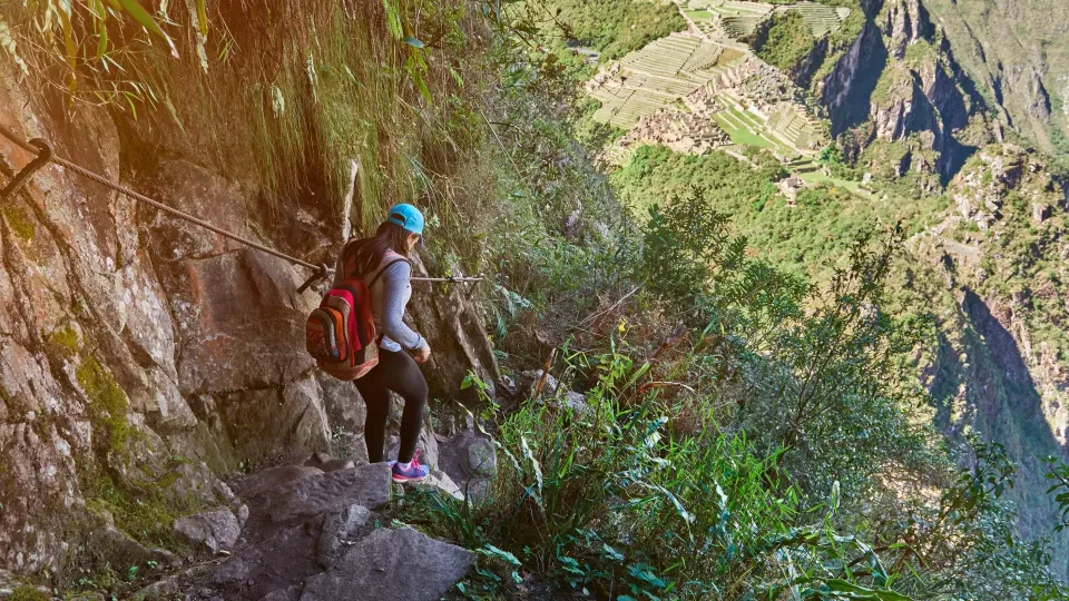
Inca Trail to Machu Picchu
Salkantay & Classic Inca Trail Trek 7 Days
Classic Inca Trail to Machu Picchu 7 days is the perfect Peru adventure for travelers who want to…
- Challenging
- 4,650 msnm
- Group or private
From US$1,170per person
Book a trip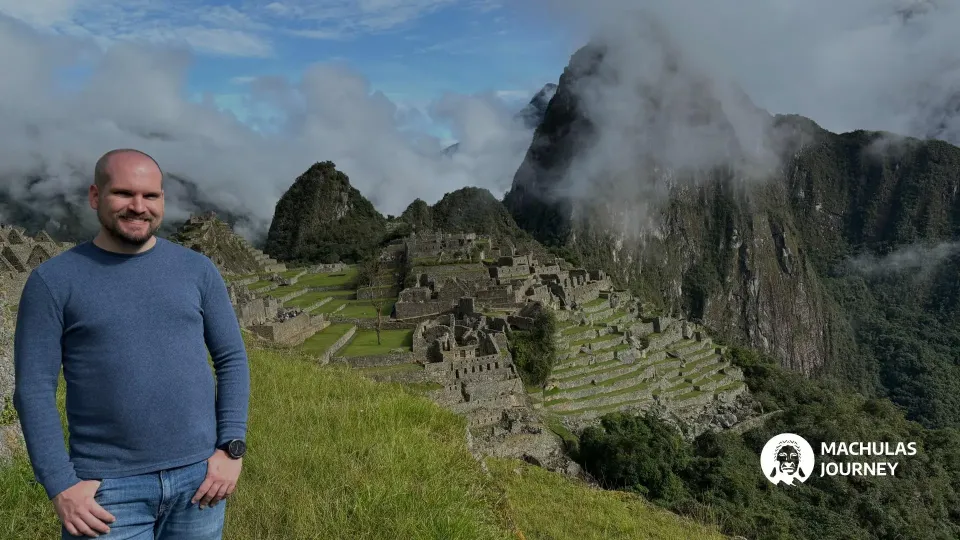 History
 Travel Planning